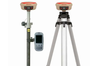
DGPS Survey
We offer cutting-edge Differential Global Positioning System (DGPS) survey services, providing unparalleled accuracy for control points and real-time kinematic (RTK) survey mapping. Our advanced technology and expertise ensure precise positioning with an impressive margin of error of just ±8mm for control points. Whether you require high-precision control points for construction, engineering projects, or detailed topographical mapping, our DGPS survey services guarantee the accuracy and reliability you need.

RTK Drone Survey
Harnessing the power of Real-Time Kinematic (RTK) technology, our RTK Drone Survey services provide unparalleled precision and detail for your mapping and surveying needs. Using advanced photogrammetry or LiDAR point cloud data collection techniques, we offer comprehensive solutions for topographical mapping, orthophoto generation, Digital Surface Model (DSM) and Digital Terrain Model (DTM) generation, as well as the creation of detailed point clouds and 3D models.
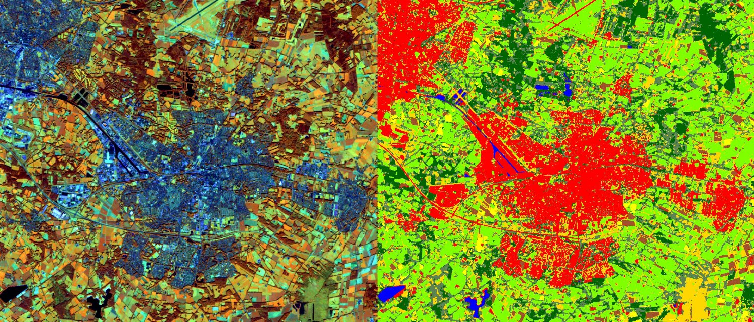
Remote sensing
We offer comprehensive Remote Sensing services leveraging advanced satellite imagery and aerial data acquisition techniques. Our remote sensing solutions provide valuable insights and actionable information for a wide range of applications including environmental monitoring, natural resource management, agriculture, urban planning, and disaster response.

Bathymetric Survey
We specialize in Bathymetric Survey services, providing accurate and detailed mapping of underwater terrain and depth contours. Using state-of-the-art equipment and advanced data processing techniques, we offer comprehensive solutions for various applications such as hydrographic mapping, navigation study, and underwater infrastructure planning.
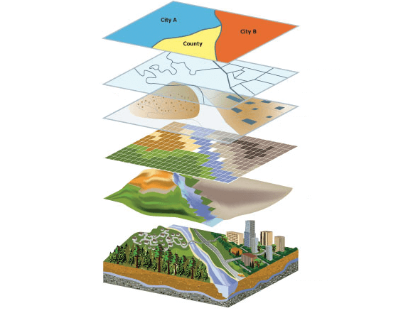
GIS data Analytics
Unlock the power of spatial data with our GIS Data Analysis services. We offer advanced Geographic Information System (GIS) solutions tailored to your specific needs, providing valuable insights, informed decision-making, and actionable intelligence for a wide range of industries and applications.
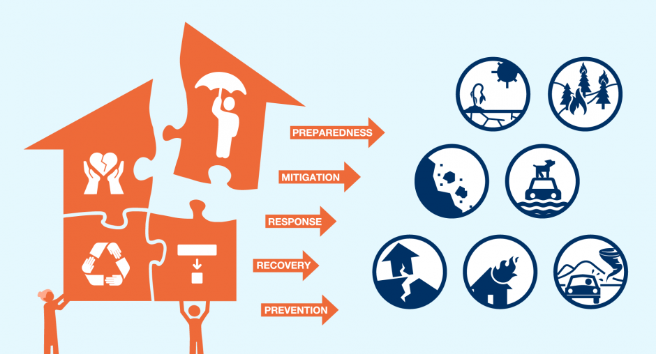
Disaster Risk Reduction Service
We are committed to helping communities, organizations, and governments mitigate the impacts of disasters through our Disaster Risk Reduction (DRR) services. By combining advanced technology, data analysis, and strategic planning, we provide comprehensive solutions to assess, manage, and reduce disaster risks.
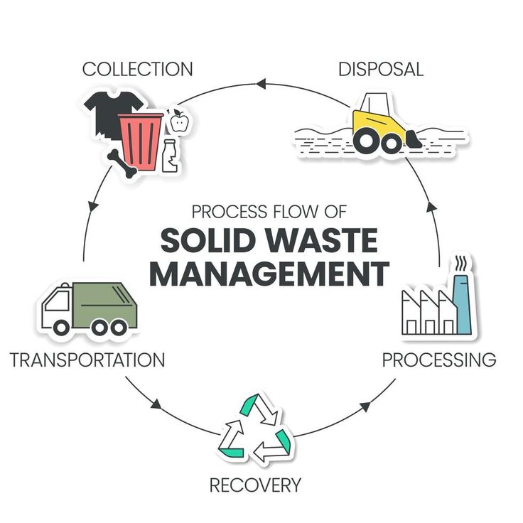
Solid Waste management
We understand the unique challenges faced by municipalities in managing solid waste effectively while ensuring environmental sustainability and public health. Our Solid Waste Management services are specifically designed to support municipalities in implementing comprehensive waste management strategies that prioritize waste reduction, recycling, and responsible disposal practices.